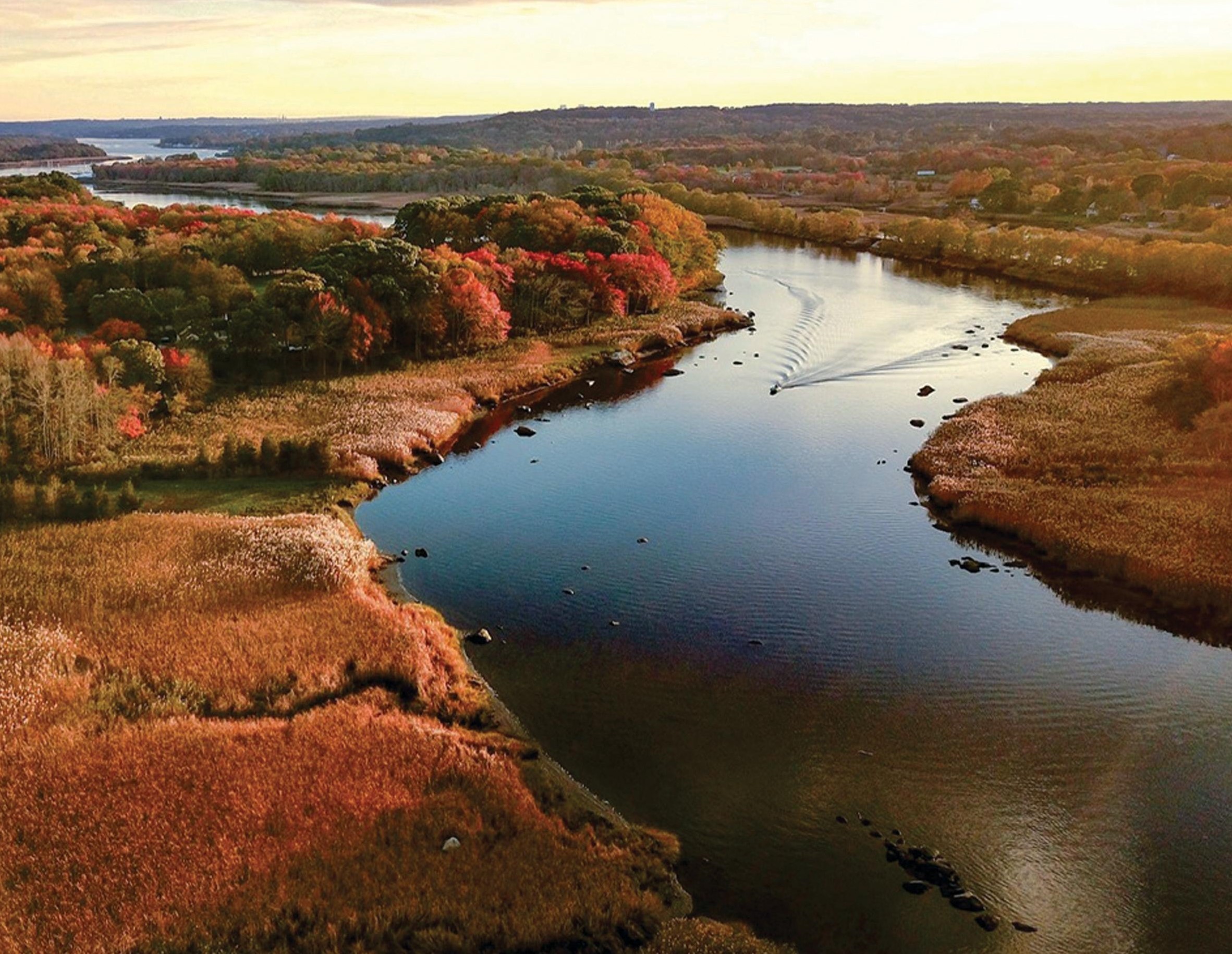
Class I-II Taunton River, MA
Wild & Scenic Taunton River (Town of Bridgewater to City of Fall River)
The Taunton River is perhaps the most diverse and intact coastal riverine ecosystem in all of southern New England. The Taunton River is the only major coastal river in the region that is without a dam or obstruction over its entire length. The river is formed at the confluence of the Matfield and Town Rivers in Bridgewater and, along with its extensive network of tributaries, drains an area of 562 square miles. It also is the largest freshwater contributor to the Narragansett Bay estuary in Rhode Island, part of the National Estuary Program.
The Taunton River and its tributaries offer outstanding recreational opportunities, both on the water and along the shoreline where trails and parks allow for enjoyment of the scenic and natural beauty of the river.
Above the city of Taunton, the river meanders through a narrow corridor and offers excellent opportunities for paddlers. Paddlers can put in and take out boats at several points along the river, although some of these sites present difficult access (narrow paths, steep slopes, and parking issues). The most used access points are located next to bridges.
On the lower river, sportfishing is a popular activity. Boats can be launched at several boat ramps, and fishing is also popular from many of the wharves along the river as well as under the Brightman Street Bridge. On the lower river, the primary sportfish are striped bass and bluefish, while in the middle and upper river largemouth bass is popular.
For More Information Visit: Taunton River - rivers.gov
Section Details
| Trip Length | One Night, 40.0 Miles |
| Fishing | Yes |
| Camping | No |
| Manager | National Park Service, Northeast Regional Office |
| Wild & Scenic | Yes |
| Water Trail | No |
| Partner Information |
https://www.rivers.gov/river/taunton
https://savethetaunton.org/ |

Photo Credit: William Gibson - Taunton River Watershed Alliance
