Henry's Fork (St. Anthony to Confluence with South Fork of the Snake River)
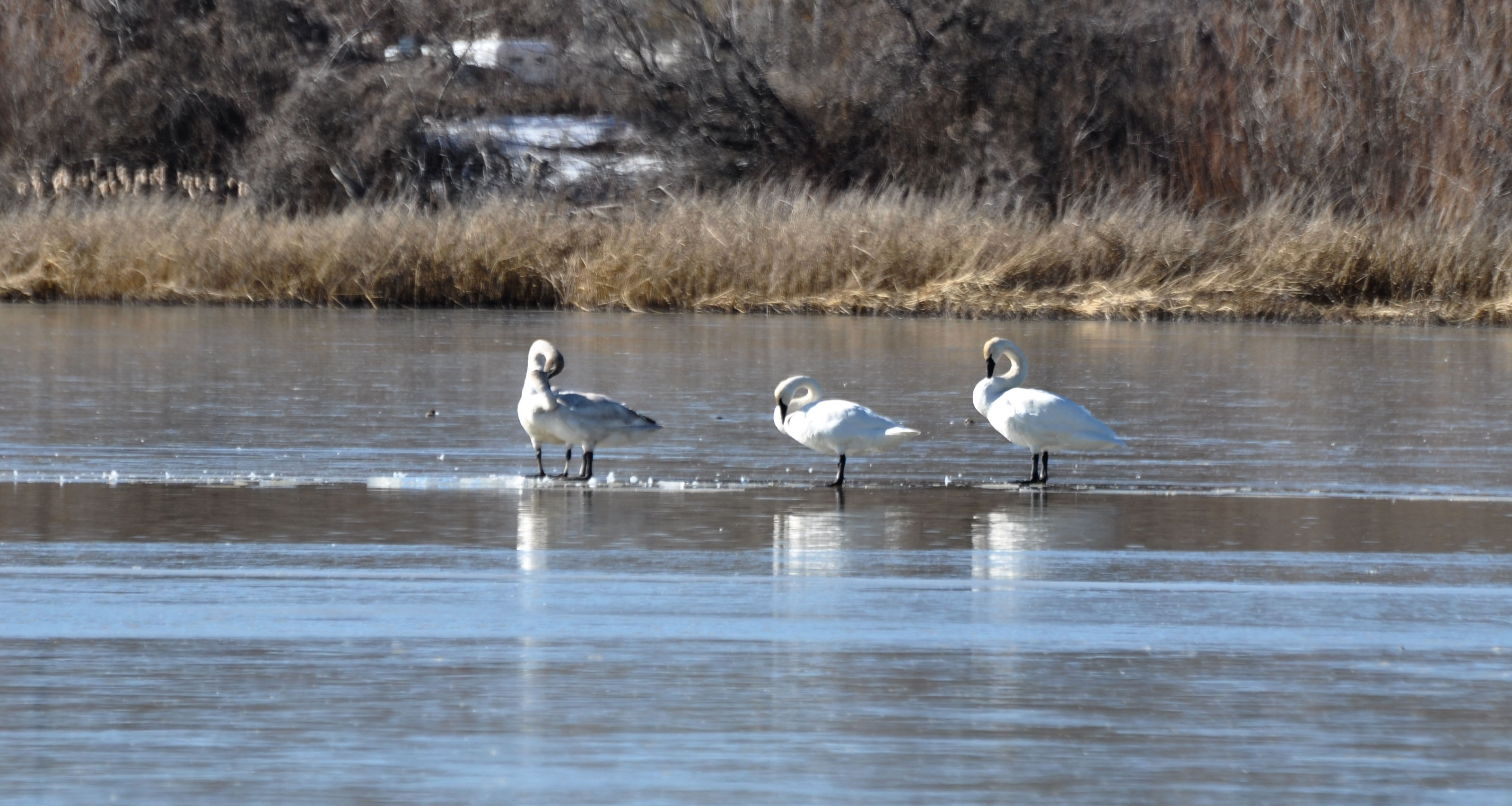
Originating at the outlet of Henry’s Lake, the river offers world-renowned fly fishing and is home to many trumpeter swans. The headwaters also provides habitat for moose, muskrat, geese and blue heron, as well as spawning grounds for rainbow trout.
The headwaters below Henry's Lake flow through private lands prior to reaching the Forest Service boundary near Big Springs. From this location to the confluence with the Warm River is primarily adjacent to Forest Service lands. From the Warm River confluence to St. Anthony, the Henry's Fork primarily flows by private lands but there are a number of public access locations.
The BLM manages the Henry's Fork from St. Anthony to the confluence with the South Fork of the Snake River. This segment of the Henry's Fork slowly meanders through a high-desert alluvial floodplain lined with cottonwood stands.
Photo: BLM