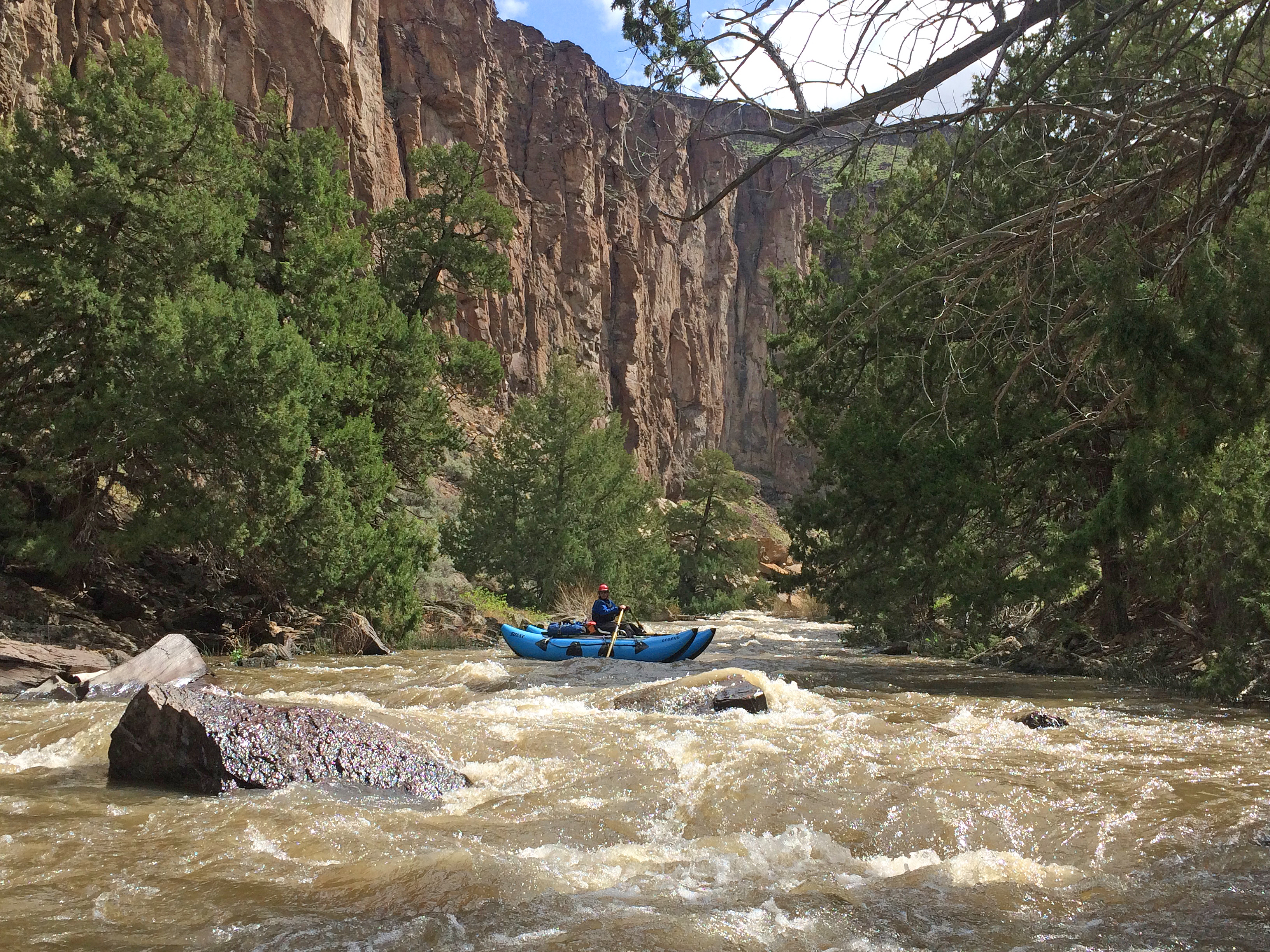
Bruneau Wild and Scenic River (Downstream boundary of the Bruneau-Jarbidge Wilderness to West Fork Confluence)
This is a spring run (March to May). Check the USGS Bruneau near Indian Hot Springs gauge for water level.
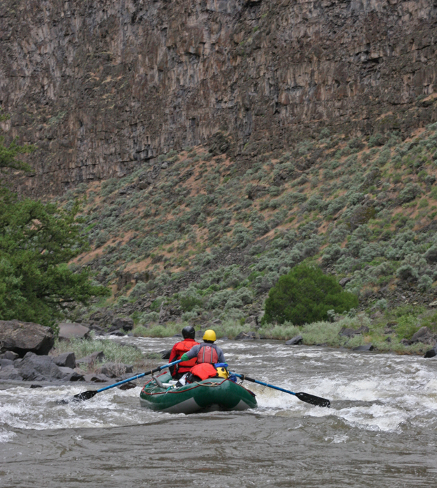
Only very experienced boaters should float the 69 miles of the Bruneau and Jarbidge rivers due to challenging rapids, log jams and other hazards. (BLM)
The Bruneau is formed from the Jarbidge River, which flows north from the mountains of northern Nevada through the beautiful basalt and rhyolite canyons of the Owyhee Uplands. There, it joins the West Fork of the Bruneau, then the East and West Forks join to form the mainstem.
Forty miles of the Bruneau River are designated wild, and a 0.6-mile stretch at the Indian Hot Springs access point is designated recreational. The combination of sparkling water, steep multi-colored cliffs, and an interesting association of plants and animals make this desert canyon one of superior natural beauty and recreational appeal. The Bruneau River also provides challenging whitewater as it flows through a deep, wild, and remote desert canyon.
Photo: BLM