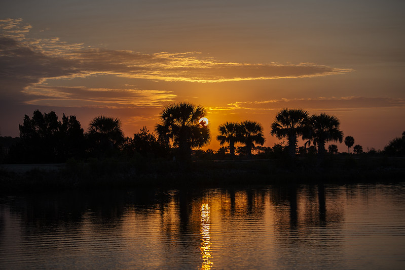
Intracoastal Waterway, FL
Florida Circumnavigational Saltwater Paddling Trail - Segment 25: Jacksonville (St. Augustine to Talbot Spoil Island)
Beginning at Big Lagoon State Park near Pensacola, extending around the Florida peninsula and Keys, and ending at Fort Clinch State Park near the Georgia state line in Fernandina Beach, the Florida Circumnavigational Saltwater Paddling Trail (commonly referred to as the CT) is a 1,515-mile sea kayaking paradise. It is the country's longest designated national recreation trail.
The Florida Department of Environemental Protection and the Florida Paddling Trails Association have detailed guides and maps available on their websites and are a great resource to plan your trip. See the links below.
Special Considerations:
Boat traffic can be heavy along the Intracoastal Waterway
(ICW), especially on weekends and holidays. Paddling along the high-energy East Coast
shoreline is not recommended due to safety considerations. Plus, there are no inlets in this
segment connecting the ICW to the Atlantic with the exception of the St. Johns River.
Jetties that extend almost two miles into the Atlantic along the mouth of the St. Johns
make this option prohibitive. Tides will begin to have a stronger influence as you head
north. Paddlers in the ICW must often contend with a strong easterly shore breeze.
For More Information and to Plan Your Trip Visit:
Florida Circumnavigational Saltwater Paddling Trail Segments & Information - Florida Department of Environmental Protection Florida Paddling Trails Association Florida Circumnavigational Saltwater Paddling Trail - Florida Department of Environmental Protection Florida Circumnavigational Saltwater Paddling Trail - Segment 25 maps - FDEPSection Details
| Trip Length | Multiday, 46.0 Miles |
| Fishing | Yes |
| Camping | Yes |
| Manager | Florida Paddling Trails Association, Florida Department of Environmental Protection |
| Wild & Scenic | No |
| Water Trail | Yes |
| Partner Information |
https://floridadep.gov/parks/ogt/content/florida-circumnavigational-saltwater-paddling-trail-segments-information
https://www.floridapaddlingtrails.com/#gsc.tab=0 |