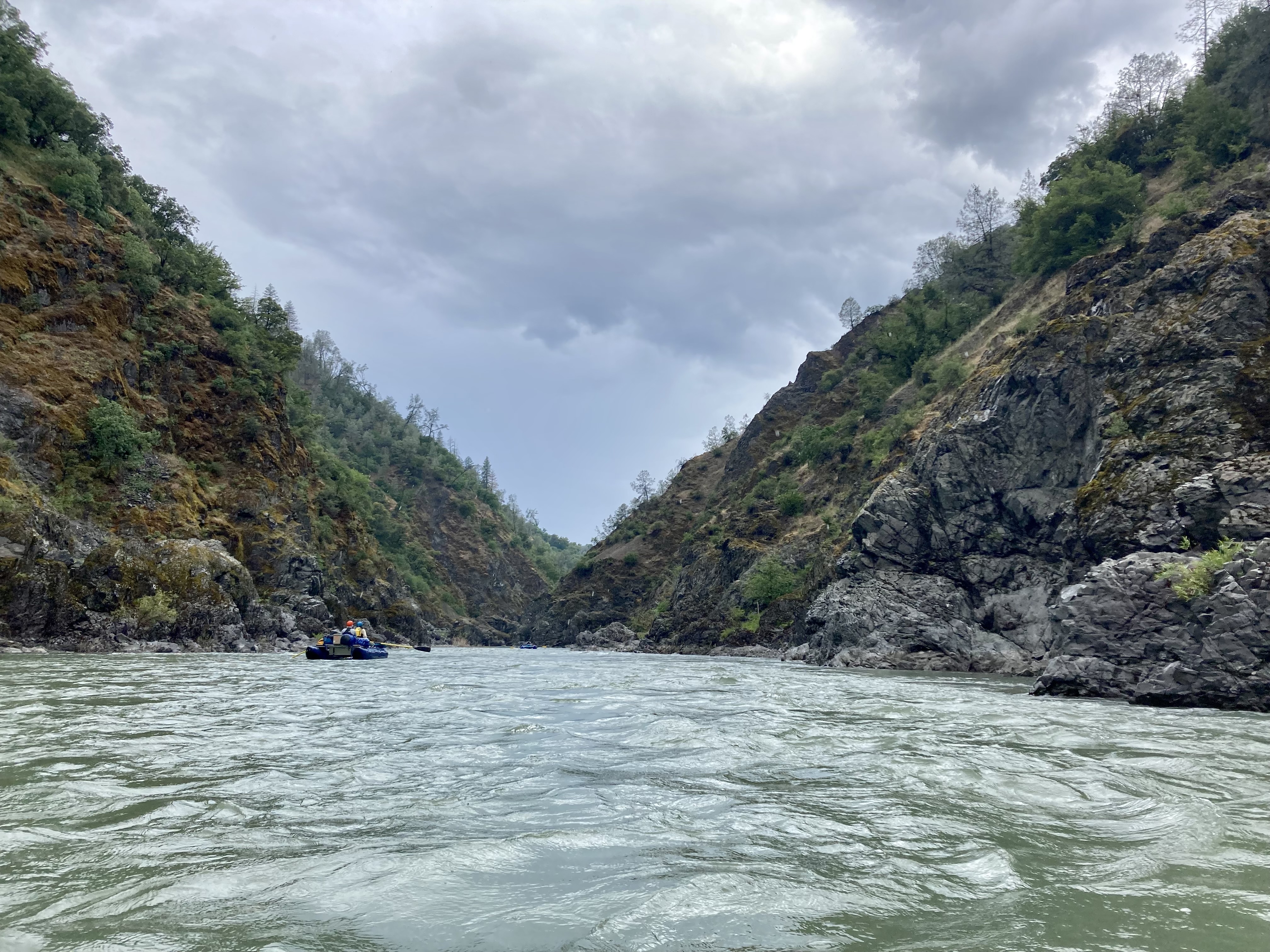
Class IV-V Middle Fork Eel River, CA
Black Butte to Dos Rios (Black Butte Confluence to Dos Rios)
The Eel River represents California's third largest watershed. The mainstem flows more than two hundred air miles and travels over 800 river miles from the headwaters above Lake Pillsbury in Lake County to the ocean.
The Eel River has received both state (1972) and federal (1981) wild and scenic river designation, which protects the river from dams and ensure that environmental concerns rank equally with development and industry.
The Middle Fork, the Eel's largest tributary, travels a total of 70 miles before joining the mainstem Eel.
For More Information Visit: Eel Wild and Scenic River - rivers.gov Eel Wild and Scenic River - Bureau of Land Management Eel, Middle Fork - American Whitewater
Section Details
| Trip Length | Multiday, 32.0 Miles |
| Fishing | Yes |
| Camping | No |
| Permit | No |
| Manager | Bureau of Land Management, Arcata Field Office |
| Wild & Scenic | Yes |
| Water Trail | No |
| Partner Information | https://www.rivers.gov/river/eel |
| Description | American Whitewater |

Photo Credit: Zane Ruddy - BLM
