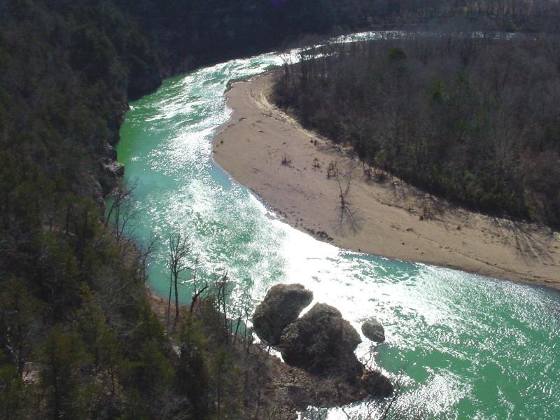
Class II Buffalo River, AR
Buffalo National River (Boxley Bridge to Buffalo City)
Established in 1972, Buffalo National River is one of the few remaining undammed rivers in the lower 48 states.
The Buffalo River flows freely for 151 miles. Typically, the paddle season begins on the upper Buffalo in the spring. More water makes this section attractive for visitors seeking a higher level of challenge with whitewater kayaking. The season moves downstream with the months, varying from month to month with rainfall. Unlike rivers that are fed by perennial springs, the Buffalo is largely rainfall dependent. In dry years, the paddling season is short and quickly moves down into the Middle and Lower Districts. In wet years, use of the upper river is prolonged with paddling opportunities spread out through the park for the entire season.
Once you arrive, prepare to journey from running rapids to quiet pools while surrounded by massive bluffs as you cruise through the Ozark Mountains down to the White River.
For More Information Visit:
Buffalo National River - National Park Service
Maps - Buffalo National River - National Park Service
American Whitewater - Arkansas
Section Details
| Trip Length | Multiday, 137.0 Miles |
| Fishing | Yes |
| Camping | Yes |
| Manager | National Park Service, Buffalo National River |
| Wild & Scenic | No |
| Water Trail | No |
| Partner Information |
http://www.nps.gov/buff/index.htm
https://www.nps.gov/buff/planyourvisit/maps.htm |
| Description | American Whitewater |

Photo Credit: NPS
